Korea is illegally occupying a Japanese island named Takeshima, which Korea
calls gDokdo.h Korea claims that the island has been Korean territory
for hundreds of years and that it appeared on old Korean maps as an island
named gUsando.h Japanese, however, say that Korea has no historical documents
to back up their claim and the Usando on their maps was just a neighboring
island of Ulleungdo, which is Korean territory. I have created this page
to show that Koreans are wrong and that Usando was not Takeshima (Dokdo),
but just a neighboring island of Ulleungdo.
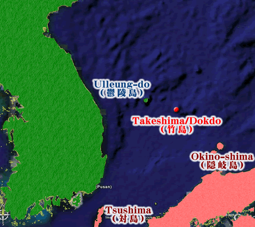
Before verifying the locations of Ulleungdo, Jukdo, and Takeshima/Dokdo on the old maps, however, I want to first show where the islands are locationed on modern maps. I will use Google Earth maps to show their present-day locations.
Takeshima/Dokdo is too small to be seen on the wide-view map, but the red dot shows its location.

This map is made by using Google Earth
The next map is a closer view that shows Ulleungdo and its two neighboring islands, which are called gKwaneum-doh and gJuk-do.h Takeshima/Dokdo is at the bottom, right-hand corner of the map, ninety-two kilometers away from Ulleungdo. Notice that Takeshima/Dokdo is shown as two small islets.
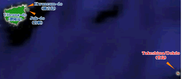
This map is made by using Google Earth
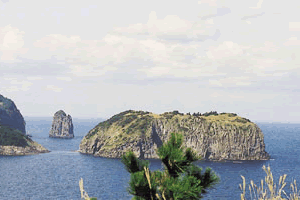
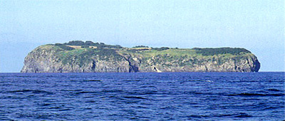
The following pictures show the shapes of the islands. Again, notice that Takeshima/Dokdo are actually two islets next to each other.
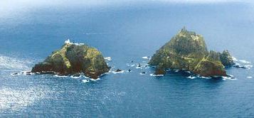
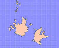
Here is a chart that shows information on the three islands:
| Kwaneum-do | Juk-do | Takeshima/Dokdo | |
| Distance from Ulleungdo | 0.3km? | 2.2km | 92km |
| Area | 71,000m2 | 208,000m2 | 187,000m2 |
| Composition and shape of island | It composes of one long from east to west rectangular island. | It composes of one long rectangular island the south north. | It is composed of two main islands of complex shape that queues up from east to west and a lot of small rocks. |